

9 Planning Tips for Aerial Panoramas in Florida
A strong aerial panorama begins with a purpose and a suitable viewpoint. For Florida property and development teams, these nine planning points help turn a request for a wide view into a clear photographic brief.
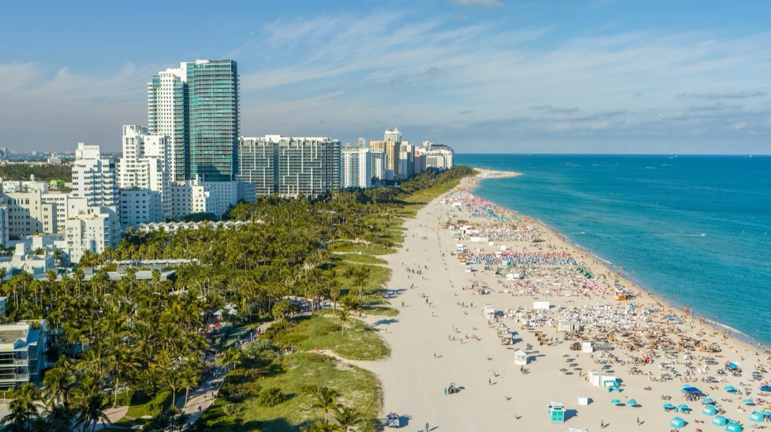
1. Define how the view will be used
A wide website photograph, a printed sales display and an interactive 360 tour are different deliverables. Specify the intended presentation before capture.
2. Identify the important directions
Mark the surroundings that matter to the project, such as water, skyline or access. A broad panorama should still have a clear subject.
3. Confirm the viewpoint and elevation
For developer work, supply plans and explain the project's reference datum and requested levels. The operator must review whether those positions are feasible.
4. Consider light and reflections
Sun direction changes the appearance of water, glazing and building facades. Discuss whether day, dusk or more than one lighting condition serves the brief.
5. Allow for changing conditions
Wind, cloud cover, visibility and activity around the site can affect capture. Agree on how scheduling decisions will be communicated.
6. Review the specific operation
Access, airspace, obstacles and nearby people must be considered for the actual location. A visually appealing site is not automatically an available flight location.
7. Distinguish a wide image from a spherical tour
A conventional panorama has a chosen frame. A spherical panorama lets a viewer look around from a captured point. Explore the developer 360-tour guide when an interactive presentation is needed.
8. Label views accurately
Captured surroundings reflect conditions at the time of photography. Avoid presenting them as a guarantee of a finished unit's future outlook. Where a studio combines photography with proposed architecture, credit its rendering and Drone Genius's backplate contribution separately.
9. Agree on delivery and organization
Confirm image formats, view labels, tour hosting if applicable, usage and handoff requirements. Our architecture and 360 portfolio provides real examples. Send your site address, plans and intended outputs to discuss a suitable capture scope.