

What is Aerial Photography?
Aerial photography is still photography captured from an airborne viewpoint. A drone lets a photographer show a property, coastline, construction site or city in relation to its surroundings. The right viewpoint depends on what the image needs to explain.
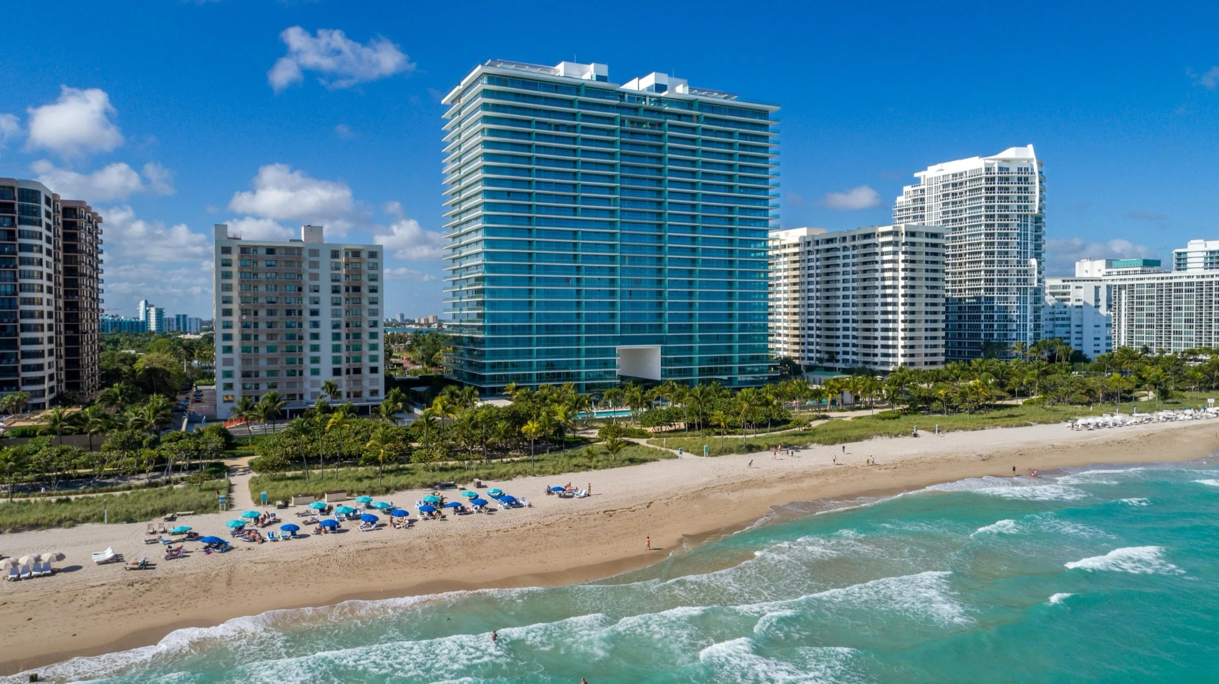
Three useful aerial viewpoints
Oblique views look toward a subject at an angle. They show building facades, depth and the relationship between a property and its neighborhood. Top-down views look toward the ground and can show the arrangement of roofs, roads and outdoor areas. Panoramas combine overlapping images into a wider view; a spherical panorama lets a viewer look around from a captured position.
A top-down photograph is not automatically a survey or an accurate map. Measurement, mapping and specialist inspection require their own capture plan, processing and validation.
Photography, motion and 360 views
Still photographs suit project presentations, websites and print layouts. Aerial cinematography adds camera movement and timing for an edit. See our film and commercial aerial work for production examples.
For developers, aerial 360 photography records the surroundings from agreed viewpoints and elevations. A tour can organize these captures for a sales-center presentation. Backplate photography is a separate contribution: a visualization studio can use photographed surroundings within a rendering of a proposed building. The completed rendering should credit that studio and identify Drone Genius as the backplate photographer.
Explore our developer view photography, 360 tours and backplate projects, including Nobu Residences and Faena Residences Miami.
Start with the intended use
Before choosing an aircraft or camera, define the subject, desired viewpoint and final output. A large printed display, a vertical social edit and an interactive tour have different framing and delivery needs. For repeat construction progress photography, agree on the views and visit schedule so the images are useful together.
Share the site address, project references, preferred dates and required orientations. The crew can then review access, airspace, nearby activity, light and weather, along with any permissions needed for the proposed operation. Available viewpoints and capture times depend on that review.
Plan an aerial photography brief
Tell us what your audience needs to see and where the images will appear. Include any required views, delivery formats and deadlines. Send Drone Genius your project brief so we can confirm a suitable capture approach and scope.