

Drone Property Documentation in Miami: What Photos Can Show
Drone photography can document the visible exterior of a Miami property: roof surfaces, facades, surrounding grounds and the site's relationship to nearby buildings. Its value depends on the viewpoints captured and the question the images are meant to answer.
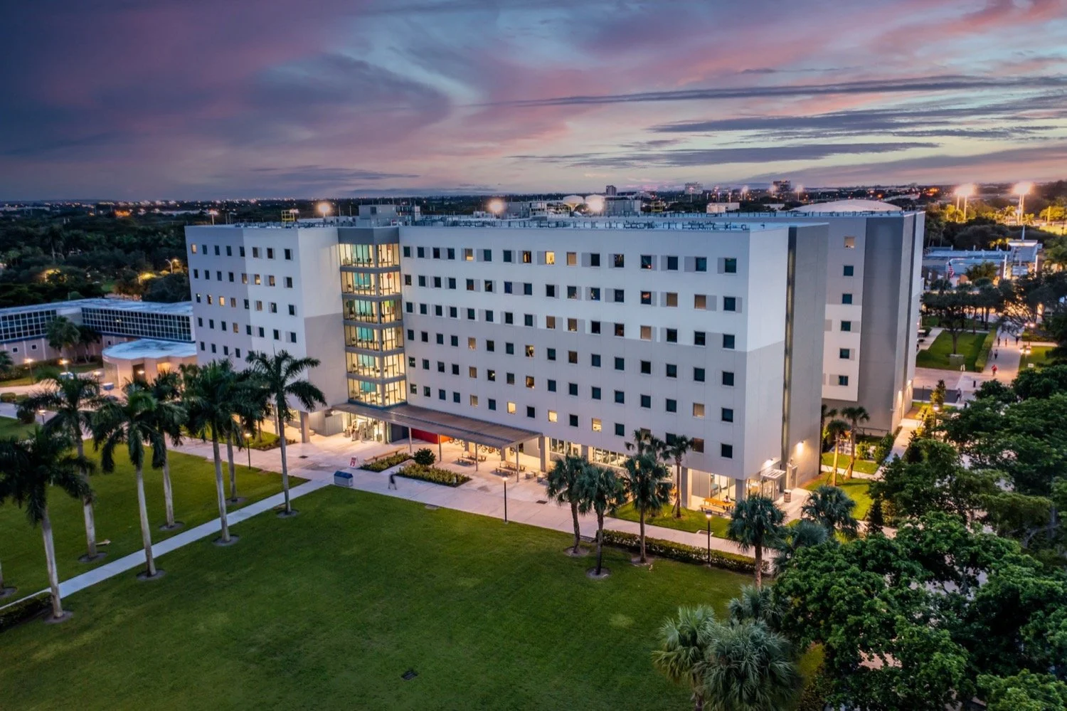
What the photographs can show
Wide views establish the property's setting. Closer views can record visible features in selected areas, subject to safe access, lighting and the camera's view. A dated set of photographs can also support a project team's record of construction or maintenance activity.
For ongoing work, agree on repeat viewpoints and the details needed for each visit. Explore our construction documentation photography for that approach. Repeat photography provides a visual record; it does not by itself certify work quality or completion.
Where visual documentation stops
Aerial photographs do not establish structural integrity, reveal every hidden defect, certify code or environmental compliance, or determine property value. A visible mark may need closer examination to understand its cause. An image cannot show what is concealed beneath a roof covering or inside a wall.
If an engineer, inspector, surveyor or other specialist needs imagery, ask them to define the required views and how they will use them. Their assessment and any specialist analysis should be scoped separately. Drone Genius's contribution on this page is aerial photography and visual documentation.
Build the capture brief around the property
Provide the address, site contact and areas you want photographed.
Identify the features or viewpoints that matter, with marked reference images where possible.
Explain whether the photographs are for project records, a specialist's review or property marketing.
Agree on dates, repeat visits, image formats and delivery requirements.
The crew will review site access, nearby people and activity, airspace, obstacles and conditions for the proposed operation. Required permissions and available capture positions depend on that review. Weather, reflections and obstructions can limit what is visible.
Choose the right use for the images
A marketing photograph and a documentation photograph may serve different needs. For a property presentation, aerial real estate photography can show the building and its surroundings. For a construction record, prioritize consistent viewpoints and the features your team needs to compare.
See our Miami aerial production services, or send your property address and photography brief. We can confirm the capture scope, intended use and delivery before scheduling.